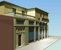
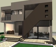
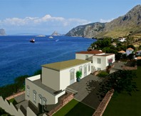
Landscape drawing with Tekton.
With the entity «Survey» the landscape drawing is dependent to a triangle datum or to relative coordinates system. In both cases the relevant tables giving the total and partial values of the site areas are automatically generated.
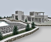
Moreover in the case of the site triangulation its three-dimensional model is generated to be used later for extracting useful ground sections.
TEKTON offers the following:
- Interoperability with geospatial software and automatic insertion of points.
- Tables of points.
- Tables of areas.
- 3D model and soil sections.
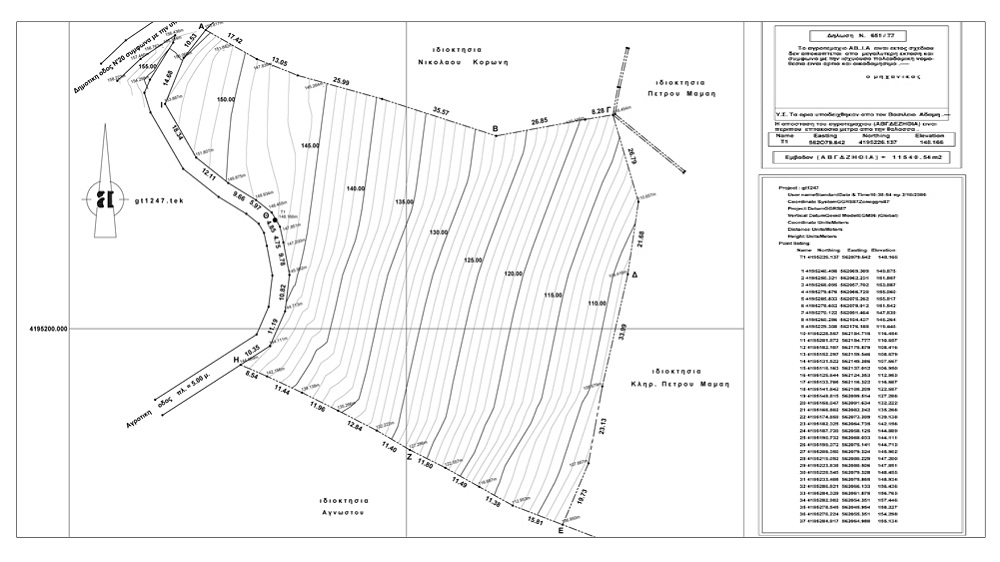
Topo survey drawing and coordinates table.
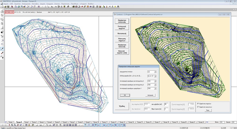
bidirectional communication between TEKTON and Contours.
Additionally, TEKTON works bi-directionally with the software Contour, a stand-alone add-on. After the insertion of the geo-referenced points from a csv or txt file the contour lines are automatically generated. Subsequently the new file can be exported as a TEKTON file for further editing.